
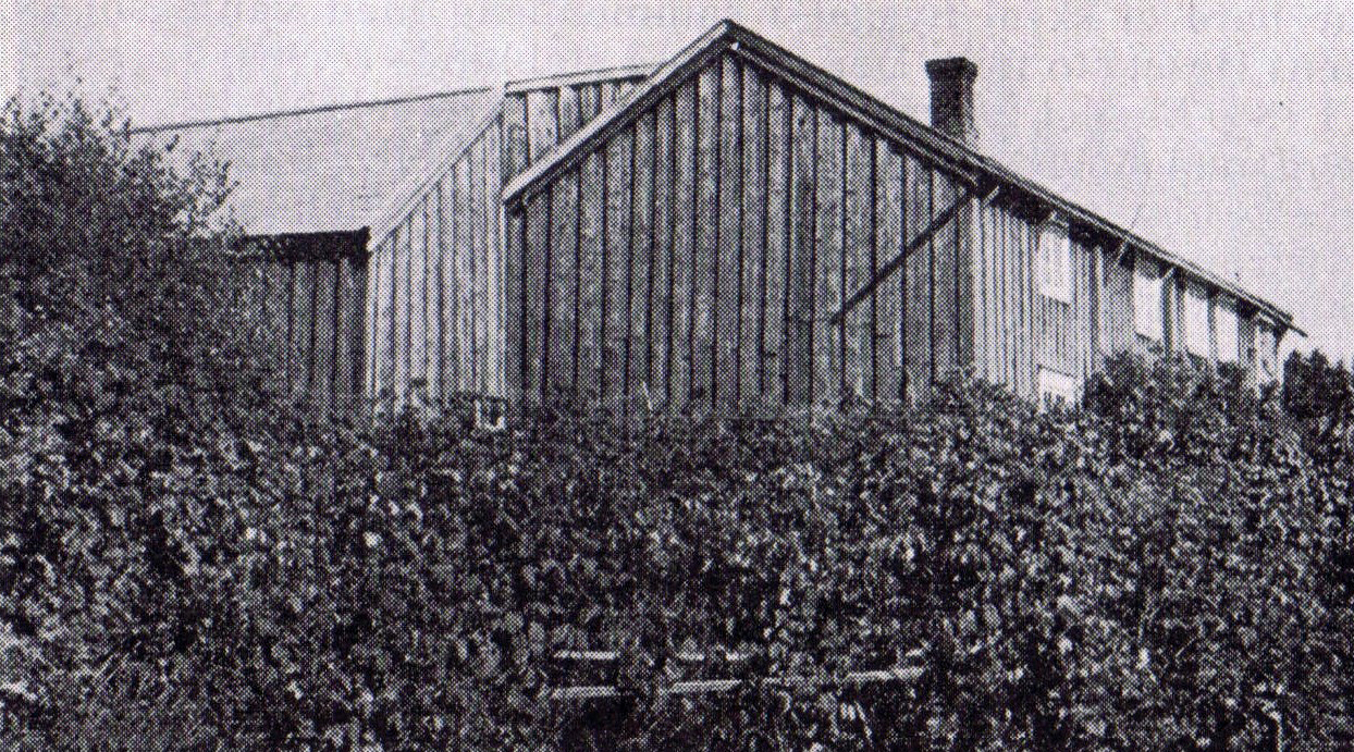
Main picture: Upper Rønningen, with house and outbuildings angled together.
Upper - Rønningen
The oldest written sources say that Johan Larson and his wife Tale Lovisa Tørrisdatter lived in this croft. In 1869 they got a contract of "tolvfenning (4 Twelfths)" *. In 1873 the contract was extended to 7 tolvfenning. Tale’s mother also lived here for a time. They had several children, and when the parents died, the eldest daughter Kristine was allowed to buy the place in 1957. When she died three years later, her sister Anna took over the place. Today, the houses are demolished and the land added to Lower-Rønningen.
Lower-Rønningen.
Ner - Rønningen is down towards the sea. Until 1872, there was a croft here under the Kvam farm, but it was sold for NOK 700 to the second oldest son at Kvam - Kristian E. Kvam. In 1887 Kristian also took over Røvik - Rønningen which was close by. It was owned by teacher Frengen and was sold to Kristian for 2400 kroner.

* Twelfth is an old acreage measuring 520 square meters. A twelfth was a square piece of land measuring 12 measuring rods in each direction (about 23 meters). A measuring rod was 3 alen and an alen was 63 cm. Thus, the measuring rod was approx. 1.9 meters.
When talking about larger areas, they often used "Mæling". A "Mæling" was 6 “mål” (1 mål = 1000 square meters = approximately 31.6 x 31.6 meters). Another unit of measurement that was widely used was "Favn", where a Favn was 1.88 meters. This unit was most used on the sea.